Mapping saltwater intrusion
The aim of the geophysical mapping in the Soc Trang province was to map the geological setting in great detail and acquire information on salt water intrusion. Saltwater intrusion poses a major threat to the water reservoirs in the area, and information on the transition zone between fresh‐brackish‐saline groundwater is highly valuable. The groundwater flow is governed by the geological setting, especially the existence of impermeable clay layers and permeable sand layers, and thus information on the distribution and thickness of such layers is likewise vital.
The project was funded by NWO-WOTRO (W 07.69.105), Deltares and TNO-Geological Survey of the Netherlands: the “Rise and Fall project” under Urbanising Deltas of the World. The fieldwork was carried out in collaboration with Vietnamese DWRPIS.
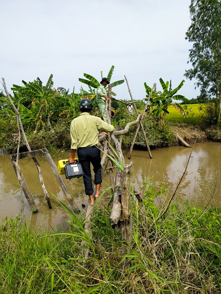
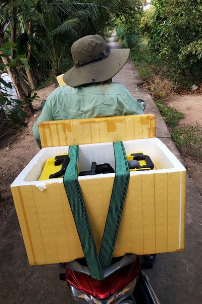
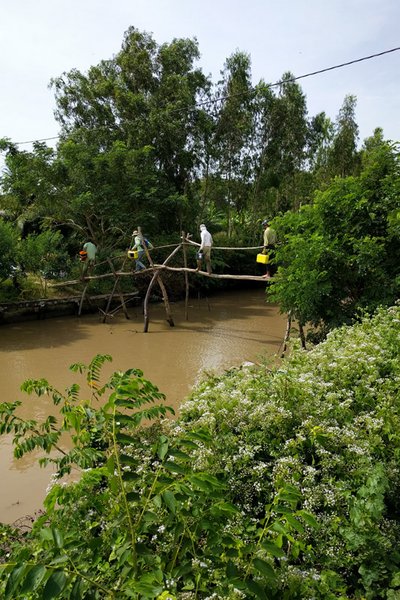
In the project we have recorded 386 soundings with the WalkTEM system developed by HGG. We succesfully mapped a large, conductive area, with depth of investigation reaching down to -200 m. The results of the geophysical survey will be integrated in a new hydrological model, which will link surface water, groundwater, and geo‐mechanical models. It can also be used to analyse the interrelated character of groundwater extraction, subsidence levels, and salt water intrusion.


Deltares, TNO - Geological Survey of the Netherlands, Utrecht University, DWRPIS
