Aarhus University logo
Find
Department of Geoscience
HydroGeophysics Group
Research
Research Vision
Collaborations
Spin off companies
Projects
Geofysik Forum
Blue Transition
Critical Pathways - AEM
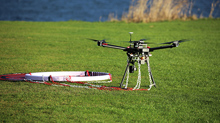
SuperTEM
Flood and Drought - SNMR
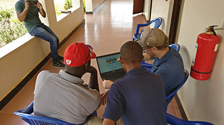
SiTEM - African Groundwater
WATEC - Research Center
GeoFysikSamarbejdet
Past projects
Instruments
tTEM
FloaTEM
WalkTEM
SkyTEM
APSU - SNMR
GCM
tMag
Total Field Magnetometer
ERT/IP
Workshop
Rental
TEM Test-site
Software
AarhusInv
EMMA for education
Education
Publications
All publications
Reports
About
News and Media
Contact
People
HGG Resources
SuperTEM
Research and Collaborations
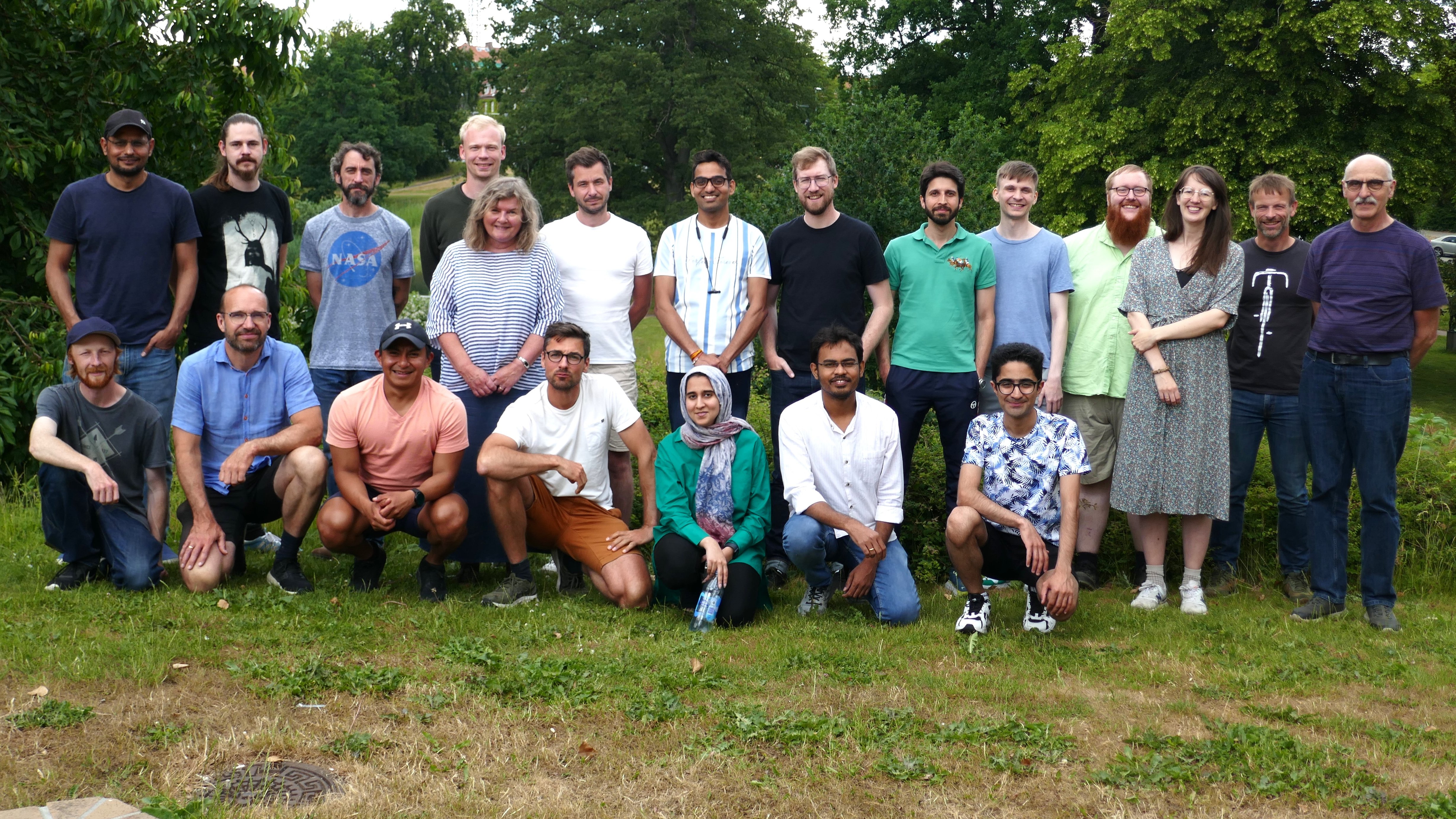
People
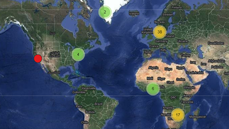
Interactive project/survey map
Revised 08.12.2025
-
hgg@geo.au.dk