Semi-airborne TEM, TEM-monitoring
In SuperTEM we are exploring two novel usages of transient electromagnetics. The first usage is imaging of subsurface structures at very high 3D resolution using a semi-airborne TEM instrument. The second usage is imaging of dynamic processes in the subsurface, in particular changing groundwater levels and interfaces between fresh and saline groundwater. We foresee a huge impact, where the research and technology from SuperTEM will become key tools in groundwater exploration and groundwater management in developing and industrialized countries. SuperTEM consists of two main innovations.
Semi-airborne TEM system
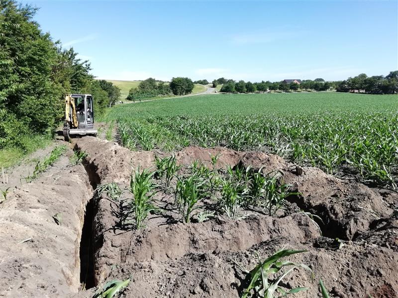
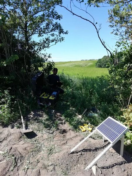
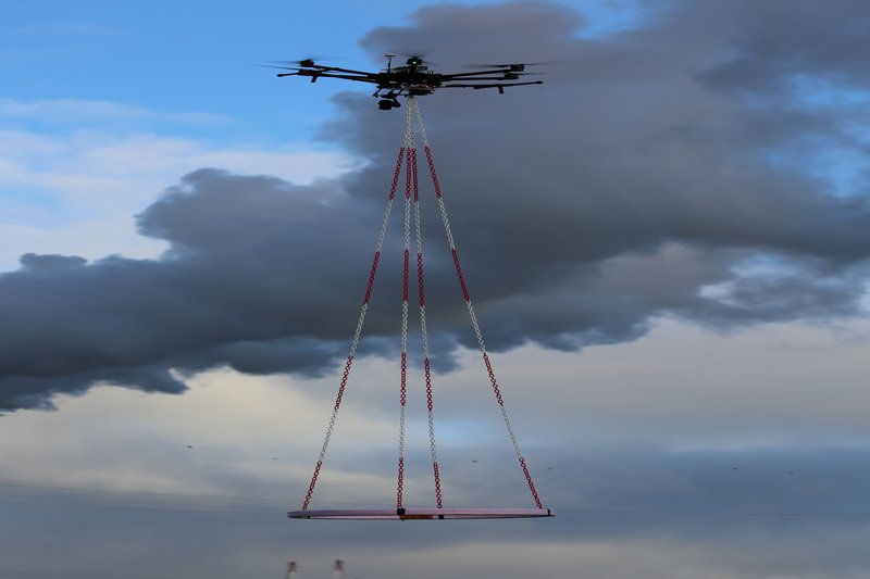
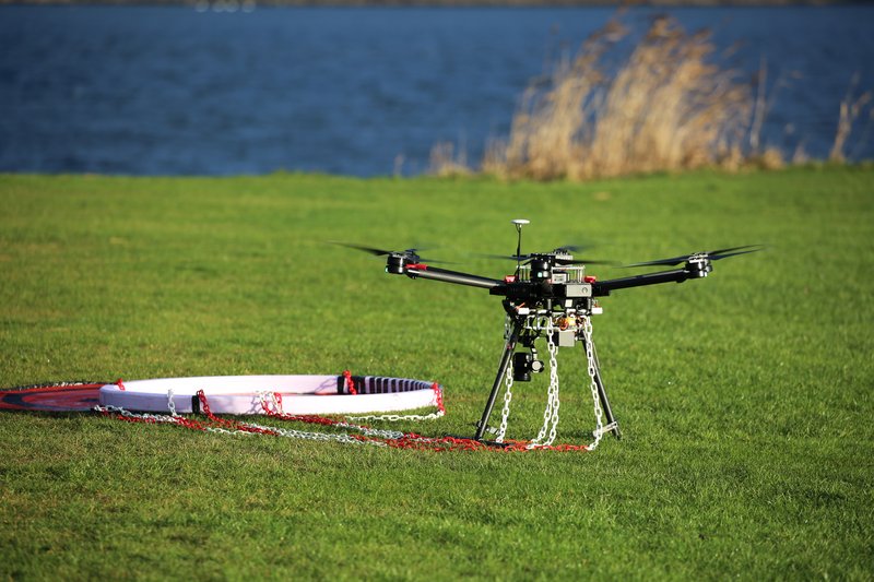
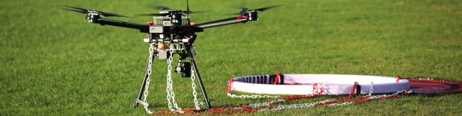
Here we focus on a semi-airborne TEM system where the heavy transmitter electronics and transmitter coil remain on the ground. The TEM signal is sampled with very high spatial resolution by a receiver coil flown beneath a small drone. Subsequent modelling and inversion of data then provides high-resolution 3D maps of the resistivity structures of the subsurface, which in turn is used for hydrological interpretation and groundwater modelling.
TEM for monitoring
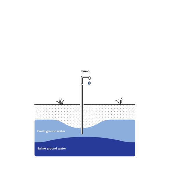
Here we focus on permanently installed TEM systems that perform daily measurements. When groundwater levels change, this changes the resistivity of the subsurface, and thereby gives telltale signature in the TEM response. By performing daily measurements, we can monitor changing groundwater levels and changing groundwater-saltwater interfaces and predict if, e.g., wells are close to being overexploited and are facing disastrous saltwater intrusion.
Project work packages: