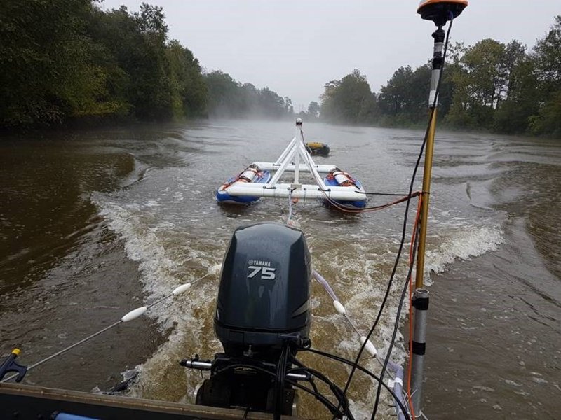
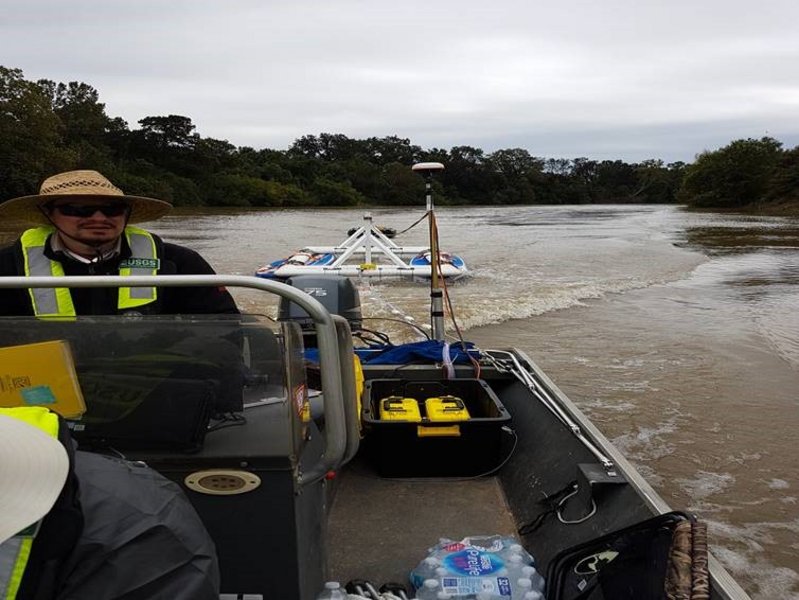
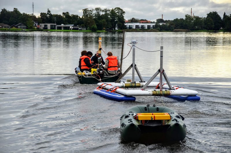
FloaTEM is a transient electromagnetic method for data acquisition on water and is a further development of the land based tTEM systems. The system is towed behind a boat with the transmitter and receiver coils resting on pontoons. With dense survey lines a 3D coverage is obtained down to a depth of 30-70 m, depending on the water conductivity.
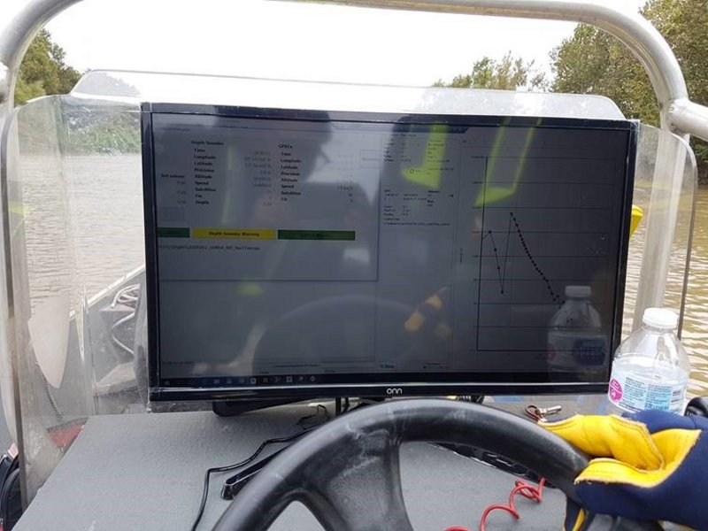
The system is quick to deploy and easily managed by a field crew of two persons. Data from the FloaTEM system is fully integrated with the Aarhus Workbench software package for data processing, inversion and reporting.
Contact Aarhus GeoInstruments regarding rental or purchase of a FloaTEM system.