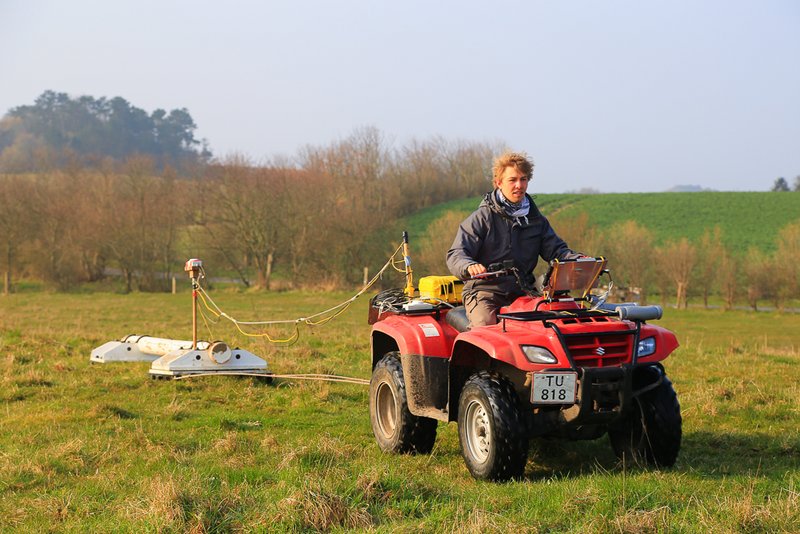
HGG has a DUALEM421S GCM instument. The DualEM GCM instrument, includes three vertical and three horizontal receiver coils with separation of 1, 2 and 4 meters from the transmitter coil, in total six configuration. The transmitter frequency of the DUALEM421S is 9000 Hz and the sample rate 10 Hz. We are surveying with the GCM instrument both by boat, walking or towering it behind a motorized vehicle. A GPS, which is connected to the system, which ensures detailed positioning of the measurements. The acquisition of GPS and GCM data is controlled by in-house developed software, which ensures data synchronization and easy in-field data evaluation. The GPS positions are linked to a navigation software running on the built in PC. Mapping lines can be plotted and visualized to make sure that the desired line spacing and areal coverage is obtained.
Logger and navigation software for the DUALEM instrument is available at Aarhus Geoinstrumets
Test of minimum distance between ATV and GPS - pdf
Christiansen, AV, Pedersen, JB, Auken, E, Soe, NE, Holst, MK & Kristiansen, SM 2016, 'Improved Geoarchaeological Mapping with Electromagnetic Induction Instruments from Dedicated Processing and Inversion', Remote Sensing, bind 8, nr. 12, 1022. https://doi.org/10.3390/rs8121022 - pdf