Groundwater Architecture Project
In an ambitious three-year project, Stanford University partners with leading Danish companies and three water agencies in California to develop a template for an optimal workflow using airborne electromagnetic (AEM) data as the foundation for developing hydrogeological conceptual models. This provides a key step in the implementation of the Sustainable Groundwater Management Act in California, and it will provide value to groundwater architecture mapping worldwide. The workflow not only includes the deployment of the AEM technology to acquire vast amounts of AEM data, but more importantly, designing the supporting geophysical and computational infrastructure for data analysis, interpretation, and archiving. Significant advancements can be made by studying the ways in which California can develop and implement a workflow and in this build on Danish experience.
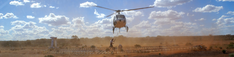
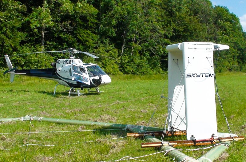
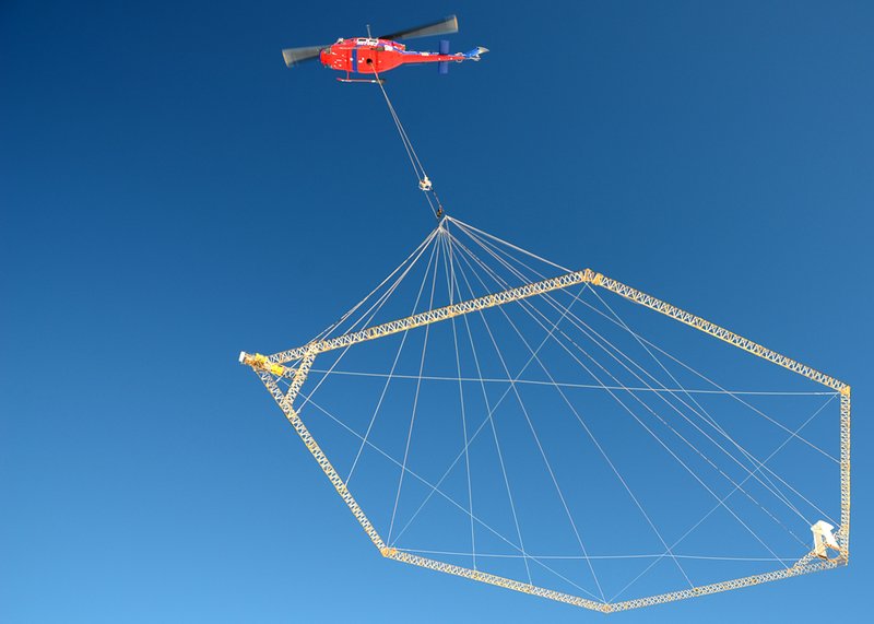
In the project, HGG will process and invert the acquired SkyTEM data from the San Luis Obispo county area using state of the art processing and inversion approaches developed in our group. The resulting geophysical models and the associated uncertainties are the fundamentals in the work of transferring geophysics to lithology through automatic transform and thus creating a reliable hydrogeological model.
For more information kindly explore the project website.

MST.dk "Danske grundvandsvirksomheder indgår samarbejde med Stanford Universitet" (1. Maj. 2018)
