The climate challenge in the near subsurface
The overall objective of TopSoil is the joint development of methods to describe and manage the uppermost 30m of the subsurface in order to improve the climate resilience of the North Sea Region. In the project there are 24 partners from five different countries in the North Sea region including; Denmark, Belgium, Germany, Netherlands and the United Kingdom.
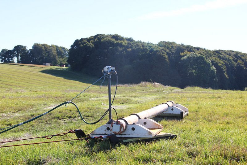
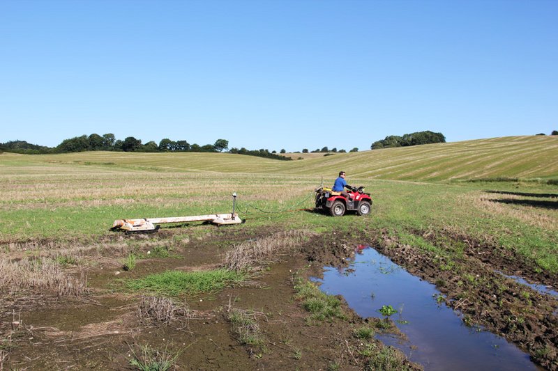
In the pilot area of Sunds we are working together with Herning Municipality, Central Denmark Region and GEUS to deal with the high groundwater table in the town Sunds. In Sunds basements are regularly flooded, something we hope to prevent by improving the understanding of the hydrogeological setting through mapping with geophysical methods such as tTEM, GCM, ERT/IP and WalkTEM.
In the Province of Drenthe in Holland, there is a large Natura2000 area, with a complex geological setting. Groundwater is extracted in the area, so there is a need to understand the soil structures in the upper 30 meters, in order to project the scarce resources in the densely populated country. HGG and Province Drenthe have joined forces to improve the geological understanding through a high-resolution SkyTEM mapping with special focus on the shallow part of the ground.
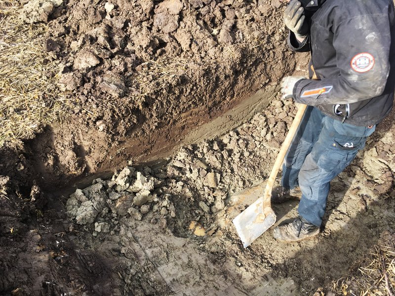
In the towns of Elev and Vildbjerg, one can find point-source contaminations due to landfills and/or agricultural use. HGG and Central Denmark Region have selected these two sites to investigate if we can improve the way geophysics is used to investigate polluted sites. This means both improving the traditional geophysical investigations and developing new geophysical instruments and methodologies. The aim is to achieve a quicker and more precise pollution risk assessment, by including 3D mapping with instruments like GCM and tTEM.
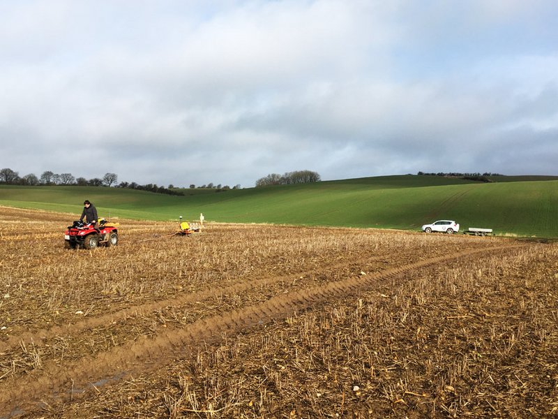
In Gedved, HGG together with Horsens Municipality, Central Denmark Region and a local farmer are looking into how targeted regulation of fertilizers can help obtain sustainable intensification. That means investigating the potential for natural breakdown of pollutants in the subsurface groundwater. In the project, we assist with a detailed 3D geophysical model of the study area by means of tTEM.
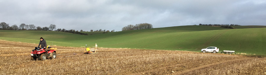
An extension of the project was approved in 2020, and the project now runs untill 2020. In the extension, HGG will carry out week-long tTEM surveys in Belgium, Netherlands, England, Denmark and Germany. The aim of the surveys will focus on the national climate adaption challenges. For instance, in the Netherlands, the aim is to map geological heterogeneity to support groundwater management, whereas in England the aim is to map aquifers in fractured chalk.