3D hydro-geophysical mapping of the Mississippi Delta
New geophysical techniques are needed to help characterize the hydrogeologic properties controlling field-scale groundwater flow and transport in diverse geologic environments. In the project the Hydrogeophysics branch of the USGS (United States Geological Survey) and HGG have developed and applied mobile imaging geophysical technology in order efficiently to assess and monitor aquifer systems and assess and monitor risk to national civil infrastructure.
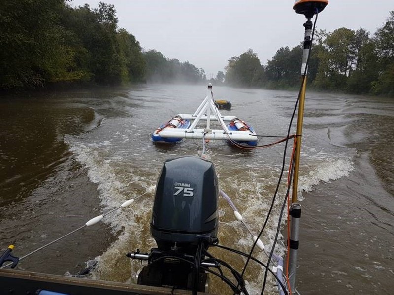
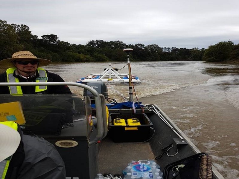
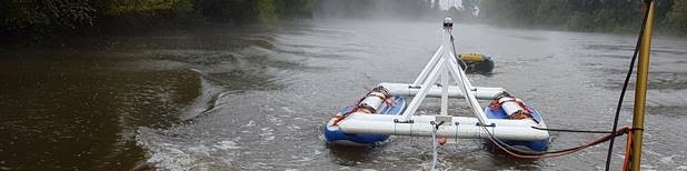
Through joint efforts the tTEM and FloaTEM systems have been used to map the hydrogeophysical setting in parts of the Missisippi delta. The mapping was carried out on both land and water by means of tTEM and FloaTEM, respectively. tTEM mapping was carried out at several sites in order to investigate 3D geological structures with special interest in the distribution of sand and clay layers. The information obtained is critical in relation to artificial infiltration in the aquifers for providing water for agriculture in the area. FloaTEM has been used on the rivers in order to characterize the riverbed sediments and the river water's resistivity.